
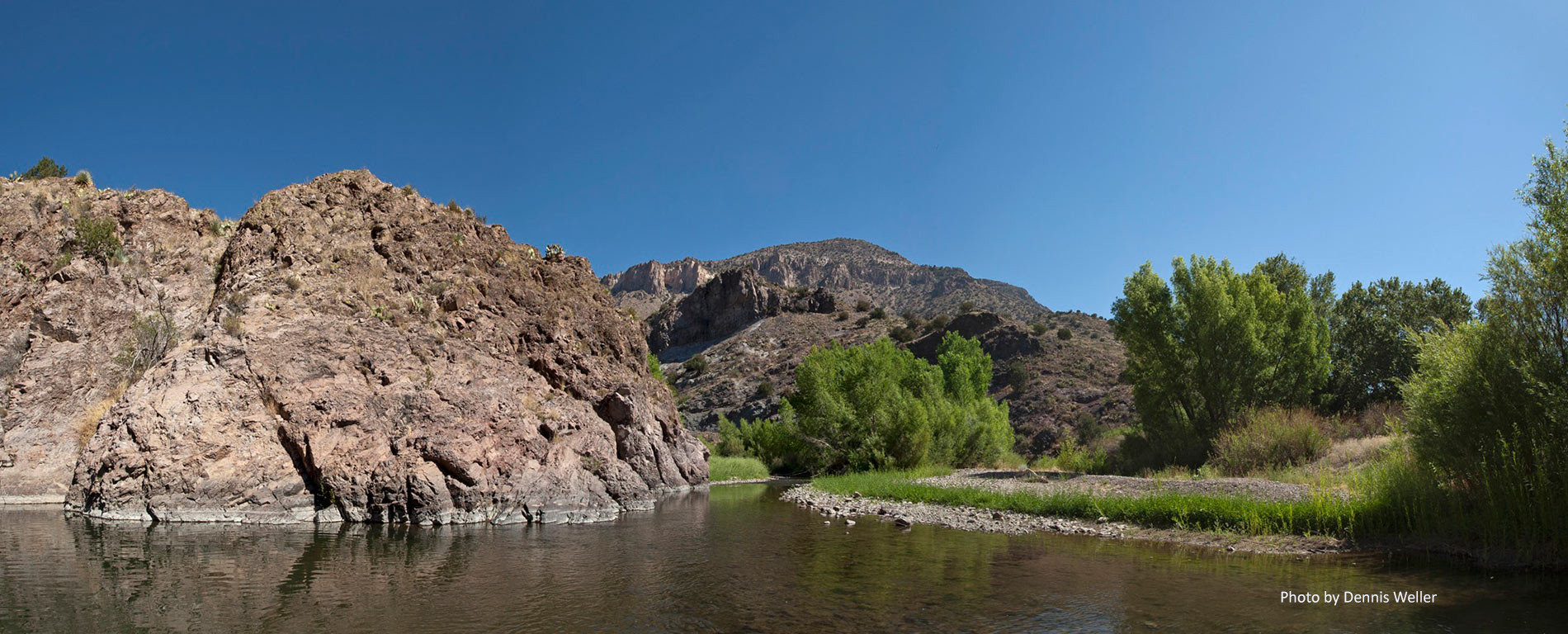
TRANSBOUNDARY WATERS
Recharge to Groundwater in the Mesilla Basin Aquifer System from a Flood Irrigated Alfalfa Field
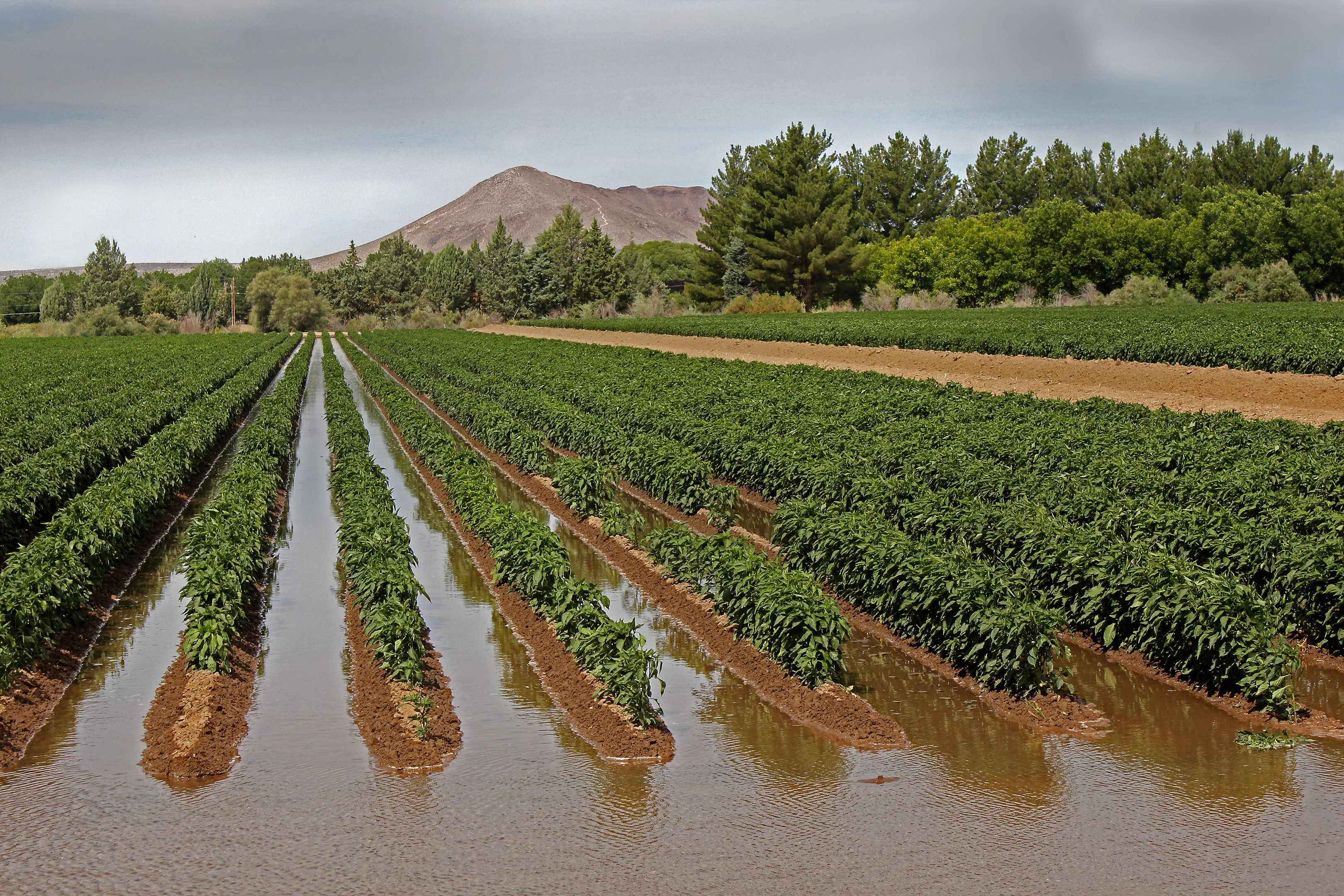
The principal investigators for this project are Kevin Boyko (Research Assistant, NM WRRI), Salim Bawazir (Associate Professor of Civil Engineering, NMSU), and Alexander Fernald (Director, NM WRRI).
The purpose of this project will be to process soil moisture data, analyze applied irrigation, and use previous TAAP study year measured ET data to estimate recharge for 2018 and 2019 and compare with 2017 results. Each of these years from 2017 to 2019 varied greatly in water availability to farmers.
Efforts to Improve Models of Surface Water and Groundwater in the Transboundary Mesilla-Conejos Médanos Aquifer
The major investigators for this project are Kevin Perez (Program Specialist, NM WRRI), and Alexander Fernald (Director, NM WRRI).
This project combines previous modeling efforts of the Mesilla-Conejos Médanos aquifer and applies state-of-the-art knowledge in hydrological and groundwater flow in order to meet three objectives: 1) provide the NM WRRI the elements to improve the surface water and groundwater models in the Mesilla-Conejos Médanos Aquifer and, therefore, 2) to propose to the community stakeholders and TAAP research collaborators an in-depth discussion about which modelling paradigm should be used in the coming years in the US-Mexico boundary zone, and, 3) identify opportunities to merge the capabilities of both RGTIHM and system models (such as the DSWB model).
Isotopic Data Around the Rio Grande (US and Mexico)
The main researchers for this project are: Ana Garcia-Vasquez (graduate student, NMSU), Alexander Fernald (Director, NM WRRI), AJ Robertson (Hydrologist, USGS NM Water Science Center), and Alfredo Granados-Olivas (Professor of Research, UACJ).
This project brings together hydrogeochemical data from the Mesilla and Hueco aquifers shared between the US and Mexico. Studies from both aquifers provide hydrogeochemical data from the last 10 to 20 years that allow us to know the origin and movement of groundwater. The isotopic signature gives us the age of the water. The age of the water indicates the origin of the water, the geological structure, the salinization of the sources, and the possible recharging points. This information is an important part of water management that can help develop policies and maintain the sustainability of aquifers. A report using this hydrogeochemical and isotopic information will provide a complete international sketch of the shared aquifers.
Ethnographic Assessment of Agricultural Groundwater Use along the New Mexico/Chihuahua Border
The primary investigator for this project is Holly Brause (Research Scientist, NM WRRI).
This project uses ethnographic methods to examine the social, political, cultural, and economic frameworks that shape the use of shared groundwater in practice at the US/Mexico border. This social science is important in conjunction with binational water modeling projects that use a socio-hydrology approach since the hydrologic reality of the border is largely shaped by human factors. This project has the potential to identify the most important human drivers of this integrated human/natural system.
Using Remote Sensing to Develop ET Fluxes for the Mesilla Valley Aquifer
The principal investigators for project are Salim Bawazir (Associate Professor of Civil Engineering, NMSU), Alexander Fernald (Director, NM WRRI), Juan Solis (graduate student, NMSU), and Kevin Boyko (Research Assistant, NM WRRI).
This project assesses ET depletion estimates in the Valley using ground measurements and an energy balance process-based remote sensing model(s) (e.g., METRICTM and SSEB) using high-resolution satellite LandSat8 images (data). The remote sensing high-resolution ET estimates will be compared with ground measurements as verification for local conditions. The ultimate goal is to use remote sensing in combination with measured weather parameters on the ground to estimate ET depletion of the Valley and, therefore, the water budget for the basin.
Transboundary Aquifer Assessment Program
TAAP is congressionally authorized to conduct binational scientific research to access systematically priority transboundary aquifers in the border region. Investigations are being conducted in partnership with the U.S. Geological Survey and border Water Resources Research Institutes in Arizona, New Mexico, and Texas, and in collaboration with appropriate state agencies, stakeholders, Mexican counterparts, and the International Boundary and Water Commission.