The principal investigators for project are Salim Bawazir (Associate Professor of Civil Engineering, NMSU), Alexander Fernald (Director, NM WRRI), Juan Solis (graduate student, NMSU), and Kevin Boyko (Research Assistant, NM WRRI).
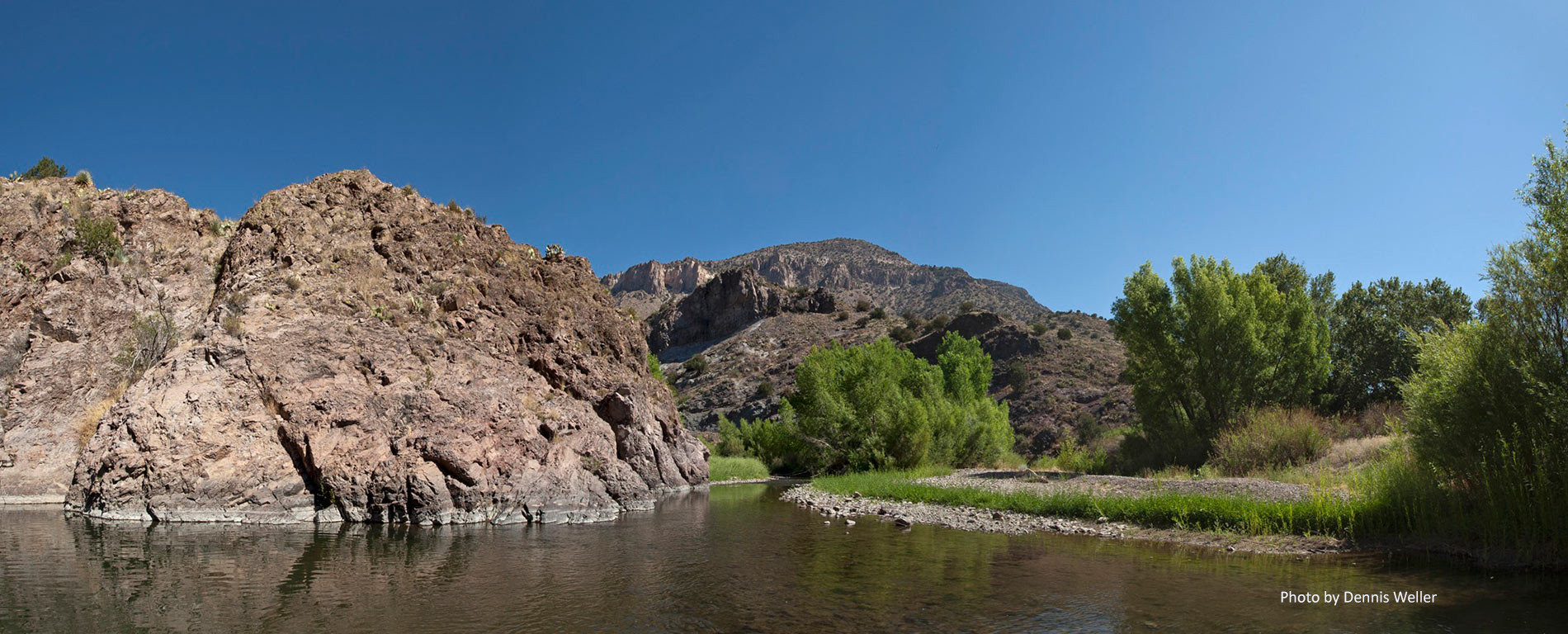
This project assesses ET depletion estimates in the Valley using ground measurements and an energy balance process-based remote sensing model(s) (e.g., METRICTM and SSEB) using high-resolution satellite LandSat8 images (data). The remote sensing high-resolution ET estimates will be compared with ground measurements as verification for local conditions. The ultimate goal is to use remote sensing in combination with measured weather parameters on the ground to estimate ET depletion of the Valley and, therefore, the water budget for the basin.
New Mexico State University MSC 3167,
PO Box 30001 Las Cruces, NM 88003-8001
(575) 646-4337
nmwrri@nmsu.edu